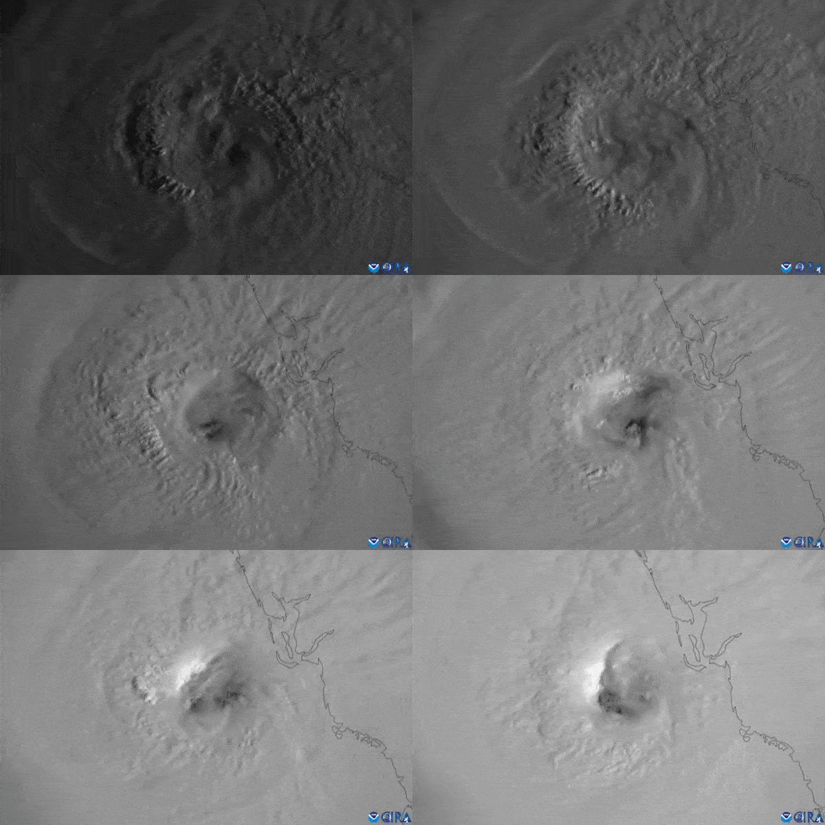
Hurricane Ian has grown above the warm waters of the Gulf of Mexico into an extremely dangerous Category 4 storm after swamping Cuba with 12 inches (30 centimeters) of rain and cutting off power all over the island earlier this week.
The 2022 Atlantic hurricane season started late but is now serving unpleasant surprises. After Hurricane Fiona, which caused floods and widespread power blackouts in parts of the Caribbean and Canada last week, Hurricane Ian has now emerged as a major threat.
Churning above the Gulf of Mexico as it approaches the coast of Florida in advance of a forecast landfall on Wednesday (Sept. 28), Ian has grown into an “extremely dangerous” Category 4 hurricane, packing sustained wind speeds of 155 mph (250 kph).
Related: See Hurricane Ian churn in video from International Space Station
“Catastrophic storm surge along with destructive waves from #Ian are expected along the southwest Florida coastline from Englewood to Bonita Beach, including Charlotte Harbor. Residents should urgently follow evacuation orders from local officials,” the National Oceanic and Atmospheric Administration’s (NOAA) National Hurricane Center tweeted (opens in new tab) at 7 a.m. EDT (1100 GMT) on Wednesday (Sept. 28).
The hurricane is a nightmare according to forecasters, as it moves slowly while discharging torrential rains and devastating winds. According to the National Hurricane Center (opens in new tab), Ian will trigger a sea surge of up to 16 feet (5 meters) above normal tide levels along the southwestern coast of Florida after it makes landfall near Tampa later on Wednesday.
“Tropical-Storm-Force winds already beginning to affect coast. Conditions will rapidly deteriorate & catastrophic wind damage is expected,” NOAA’s National Hurricane Center tweeted at 9 a.m. EDT (1500 GMT) on Wednesday.
NOAA predicts (opens in new tab) the storm will bring “catastrophic wind damage along the southwestern coast of Florida.” Extreme rainfall is expected all over the Florida peninsula into Thursday with “catastrophic flooding expected across portions of central Florida” and “considerable flooding in southern Florida, northern Florida, southeastern Georgia and coastal South Carolina,” NOAA said.
The storm forced NASA to postpone several high-profile launches, including a test flight of the new Space Launch System (SLS) moon rocket and a SpaceX crew launch to the International Space Station.
The Crew-5 launch to the orbital outpost is now expected now earlier than Tuesday (Oct. 4), while the agency still ponders a new date for the milestone SLS flight, which is a major step in NASA’s plans to bring humans back to the moon as part of the Artemis program.

Ian emerged over the Caribbean Sea over the past weekend as a tropical storm and quickly grew into a hurricane before it reached Cuba on Tuesday (Sept. 27), unleashing heavy rains and sustained winds of 120 mph (192 kph).
The National Hurricane Center predicts Ian will weaken quickly after making landfall in Florida with wind speeds falling to Category 1 levels by Thursday (Sept. 29) morning. The rain Ian brings, will, however, continue swamping the southern parts of the East Coast as Ian carves its path to the north. The weakened but still noticeable storm is expected to reach Washington, D.C., in the middle of next week.
NASA is tracking Hurricane Ian from the International Space Station. On Wednesday, the space agency will provide live views of the storm at 3 p.m. EDT (1900 GMT) as seen from the orbiting laboratory.
Follow Tereza Pultarova on Twitter @TerezaPultarova. Follow us on Twitter @Spacedotcom and on Facebook.


